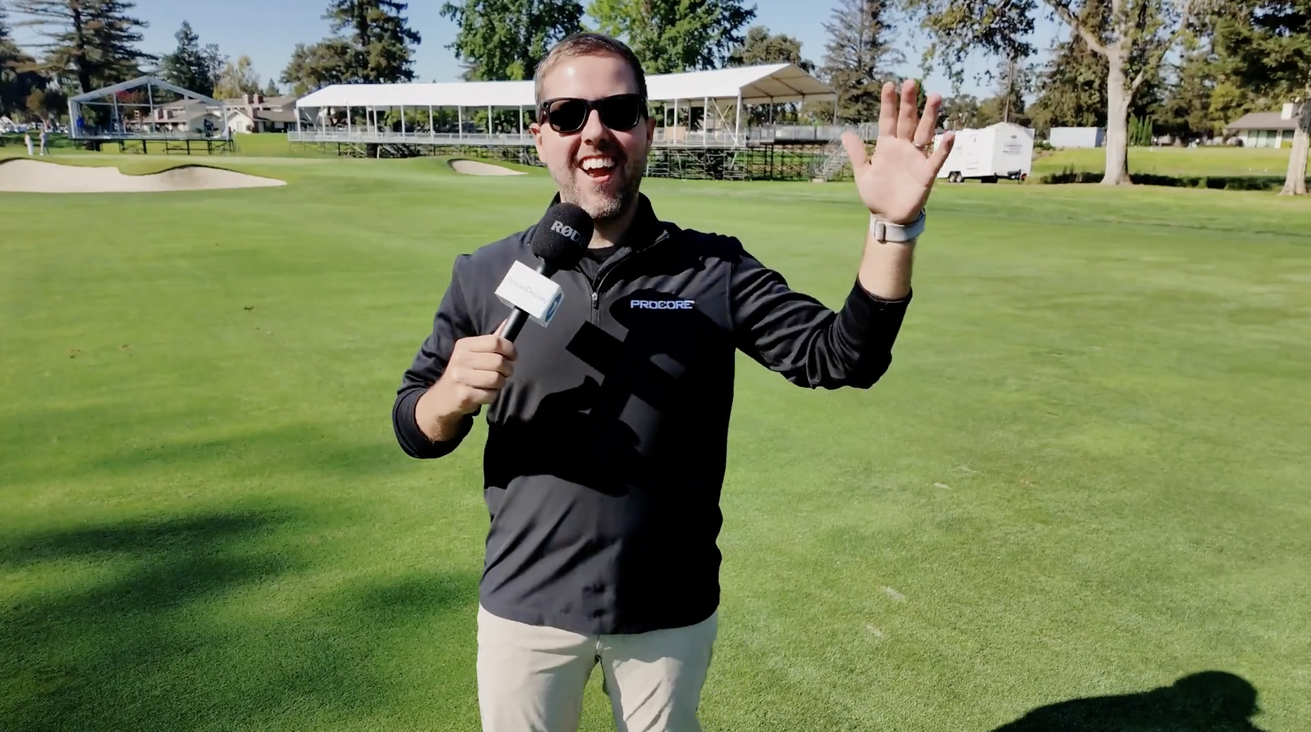
Check out a full walkaround of the grandstands using DroneDeploy’s 360 camera integration shows how combining ground-level and aerial capture gives teams detailed site context they can’t get from the sky alone.
Become part of a global community of reality capture leaders, practitioners and enthusiasts who are shaping the way we document the physical world.